
Services
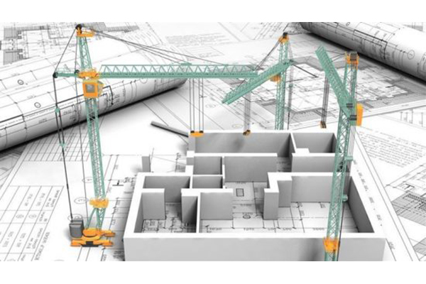
- Compiling of Topographic Diagram
- Architectural study & supervision
- Static study & supervision
- Energy Efficiency Study of Buildings
- Study of Active and Passive Fire Protection
- Engineering study & supervision
- Configuring Outdoor Areas
OPERATIONS PERMITS
- Health Stores
- Industrial Buildings
- Gas stations
- Schools / Kindergartens etc.
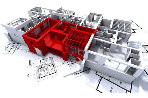
REGULATION OF ILLEGALl STRUCTURES
Ν.3843/10
Ν.4178/13
Ν.4495/17
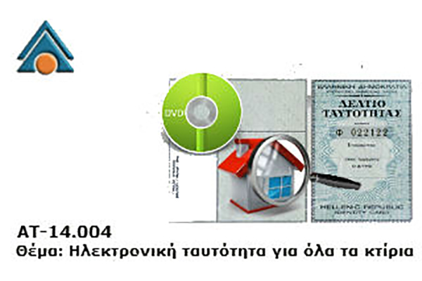
ELECTRONIC BUILDER ID
The electronic building ID required for any real estate operation other than leases has now been implemented. This is the version of a building certificate of completeness, issued by the controlling engineer. By 2024 will have to comply with the new law public buildings, public assembly buildings, gas stations, garages, tourist accommodation of more than 300 sqm, all schools private and public, hospitals, medical centres, clinics, kindergartens, retirement homes, while for apartments and detached houses they will have the relevant identity when selling the property or in any other act that changes the owner.
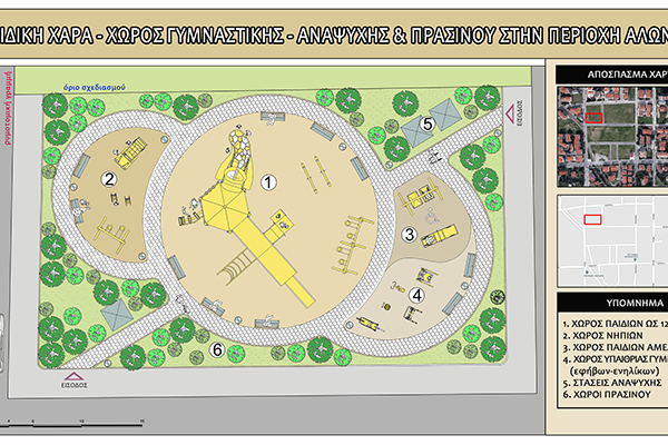
CONFIGURING OUTDOOR AREAS
Our company undertakes the design of the exterior of residential and business premises. Such as
- landscaping of the yard
- creating corridors with or without paving
- construction of parking lots and ramp construction
- pergola construction
- construction of swimming pool
- BBQ space
- construction of fence – paddock – fencing
- decoration of the courtyard
as well as all the applications that any space may need.
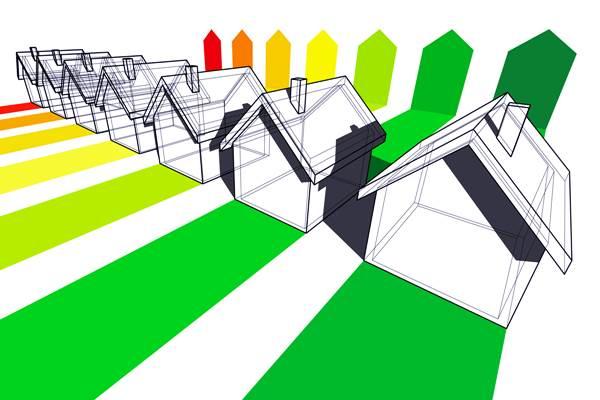
ENERGY BUILDING INSPECTIONS
The Energy Efficiency Certificate (EEA) is recognized by the Ministry of Energy and Natural Resources. a document that shows the energy performance of each building.
Its issuance is now required for each building (according to Law 3661/2008 and K.EN.A.K approval code) from 1-1-2016 in every sale and lease. Its validity is ten years.
Our company has certified energy auditors and undertakes the issuance of P.E.A. that includes:
- The collection of all the necessary supporting documents such as the building permit, the floor plan, the property contract, etc
- The on-site inspection of the property and the recording of all necessary elements such as the thermal insulation of the building,
- The edition of P.E.A. through the special software of Υ.P.Ε.Κ.Α. and the energy classification of the building

DECORATIVE PROPOSALS
V KATASKEUASTIKI undertakes the functional and aesthetic design of public and private interiors and exteriors, to meet the needs of the client and modern aesthetics as much as possible. The scope of work includes designing and overseeing the design and decoration of indoor and outdoor spaces, private residences, offices, businesses, merchandising venues, entertainment centres, shops and more.
- General measurement and photography of space using modern media such as 360 ° Cameras and Drone
- Estimate existing space.
- Identification of elements of space to be studied (architecture, decoration, ergonomics, lighting, orientation).
- Tips and smart solutions.
- Detailed discussion focused on customer preferences.
- Design with 3D and photorealistic imaging
- Colour proposals
- Construction supervision
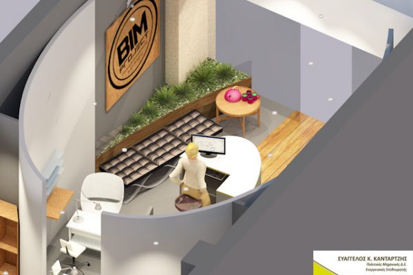
THREE DIMENSIONS – PHOTOGRAPHIC
Architectural Photorealism, Perspective 3D Designs, Photorealistic Imagery and 3D Models
The purpose and benefits of creating and presenting three-dimensional representations of drawings and upcoming constructions are well known. With the help of technology, we come a step closer to the picture of the final outcome of our vision and plans. This image will help us to better understand the final product and to avoid or correct on time mistakes that would cost us far too much to correct in the next stage of manufacture.
PRINTING, PHOTOGRAPHY, DRONE FILMING
Airborne imaging, following the latest technological developments, is the new rising trend of topography and classical photogrammetry. This method provides massive and fast geospatial information from UAV’s captured images.
The speed of image collection, the use of appropriate software for image processing and the accuracy it provides, make aerial capture ideal for
- The detailed depiction of ornate buildings and archaeological monuments and excavations of large quarries, large-scale constructions and industrial sites.
- The imprinting of inaccessible or even high-risk areas.
- Monitoring the progress of technical works.
- Large area printing
Would you like to know more about us?
